
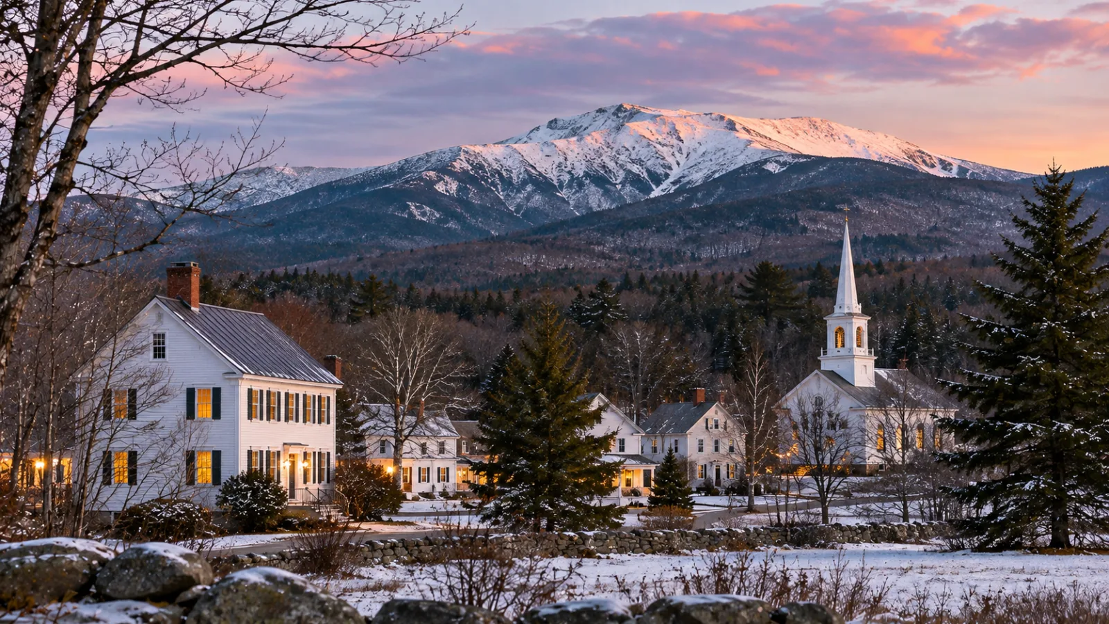
The towns near Mount Washington, New Hampshire, are Gorham, on the mountain's north and east side, Jackson and Bartlett to the south through Pinkham Notch, Carroll (Bretton Woods and Twin Mountain) to the west, and Randolph and Jefferson to the north. The summit itself is in Sargent's Purchase, an unincorporated township in Coos County, New Hampshire (Wikipedia).
Mount Washington, at 6,288 feet the highest peak in the Northeast (see what are the highest mountains in New Hampshire), sits almost entirely inside the White Mountain National Forest, so the villages and private land are in the valleys around it. We cover those valleys in our White Mountains real estate guide.
On this page
- Which town is Mount Washington in?
- Which towns sit at each approach to the mountain?
- Which towns near Mount Washington have the most homes for sale?
- Frequently asked questions
Which town is Mount Washington in?
Mount Washington isn't in any incorporated town. The summit is in Sargent's Purchase, one of the unincorporated townships of Coos County, and the mountain's slopes spread across several more of them. The 60.3 acres around the summit make up Mount Washington State Park (Wikipedia).
Unincorporated townships like Sargent's Purchase and Green's Grant have almost no year-round population, so they rarely come up in a home search. The practical answer is the town you drive through: Gorham for the Auto Road and Carroll (Bretton Woods) for the Cog Railway.
Of the cities near Mount Washington, NH, the closest is Berlin, just north of Gorham on Route 16.
Which towns sit at each approach to the mountain?
Each side of Mount Washington has its own gateway town, and the table below matches them to the road or attraction on that side.
| Town | County | Side of the mountain | What's there |
|---|---|---|---|
| Gorham | Coos | North and east | The Auto Road's mailing address (Gorham, NH 03581), Route 16 north of Pinkham Notch, Route 2 |
| Jackson | Carroll | South | Route 16 below Pinkham Notch, Jackson village |
| Bartlett | Carroll | South and southwest | Route 302, Attitash, the village of Glen |
| Carroll | Coos | West | Bretton Woods, Twin Mountain, Base Road to the Cog Railway |
| Randolph | Coos | North | Route 2 at the foot of the northern Presidentials |
| Jefferson | Coos | Northwest | Route 2, Jefferson Notch Road toward the Cog |
The Mount Washington Auto Road starts on Route 16 in Green's Grant, just north of Pinkham Notch, and climbs 7.6 miles to the summit. It opened in 1861 (Wikipedia). The road uses a Gorham address, and it closes to cars for the winter. In the off-season it runs SnowCoach tours instead (Mt. Washington Auto Road).
On the west side, the Mount Washington Cog Railway climbs about 3 miles from its Marshfield Base Station. Its first paying riders went up in August 1868, and the line reached the summit in 1869 (Wikipedia). The base is reached by Base Road off Route 302 near Bretton Woods. In winter, trains run only partway up, to Waumbek Station at 4,000 feet; for 2026–27 that winter schedule runs November 2 to April 29 (Cog Railway).
Which towns near Mount Washington have the most homes for sale?
Conway, North Conway included, is the most populous town near Mount Washington and has the deepest pool of homes, though it sits farther south than the gateway towns above. Conway is the center of the Mount Washington Valley, with the most stores and services, as our North Conway real estate guide explains.
Closer to the mountain, the choices thin out. Jackson is a small village of inns, homes and condos. Gorham is the service town on the north side. Carroll's Bretton Woods has resort condos and homes around the ski area and the grand hotel, described in our Bretton Woods real estate guide. Randolph and Jefferson are quieter, with more land and fewer listings.
Choosing a side of the mountain narrows the search. The south side (Jackson, Bartlett, North Conway) has more restaurants and ski areas; the north and west sides (Gorham, Randolph, Jefferson, Carroll) have more open land and quieter roads.
Frequently asked questions
What is the closest town to Mt. Washington?
Gorham is the closest town on the Auto Road side, and the Mount Washington Auto Road's address is 1 Mt Washington Auto Rd, Gorham, NH 03581. On the west side, the Bretton Woods area of Carroll is closest to the Cog Railway. The summit itself is in Sargent's Purchase, an unincorporated township.
What is the Mount Washington NH ZIP code?
The Mount Washington Cog Railway uses the ZIP code 03589, at 3168 Base Station Road, Mount Washington, NH 03589. The Auto Road, on the other side of the mountain, uses Gorham's ZIP code, 03581.
What county is Mount Washington in?
Mount Washington is in Coos County, New Hampshire, the state's northernmost county. Gorham, Randolph, Jefferson and Carroll are in Coos County too, while Jackson, Bartlett and Conway, south of Pinkham Notch, are in Carroll County.
Can you drive to the top of Mount Washington?
Yes, in season. The 7.6-mile Mount Washington Auto Road climbs from Route 16 to the summit and closes to private cars for the winter; the Cog Railway is the other way up. For hiking and other ways to see the mountains, see things to do in the White Mountains.