
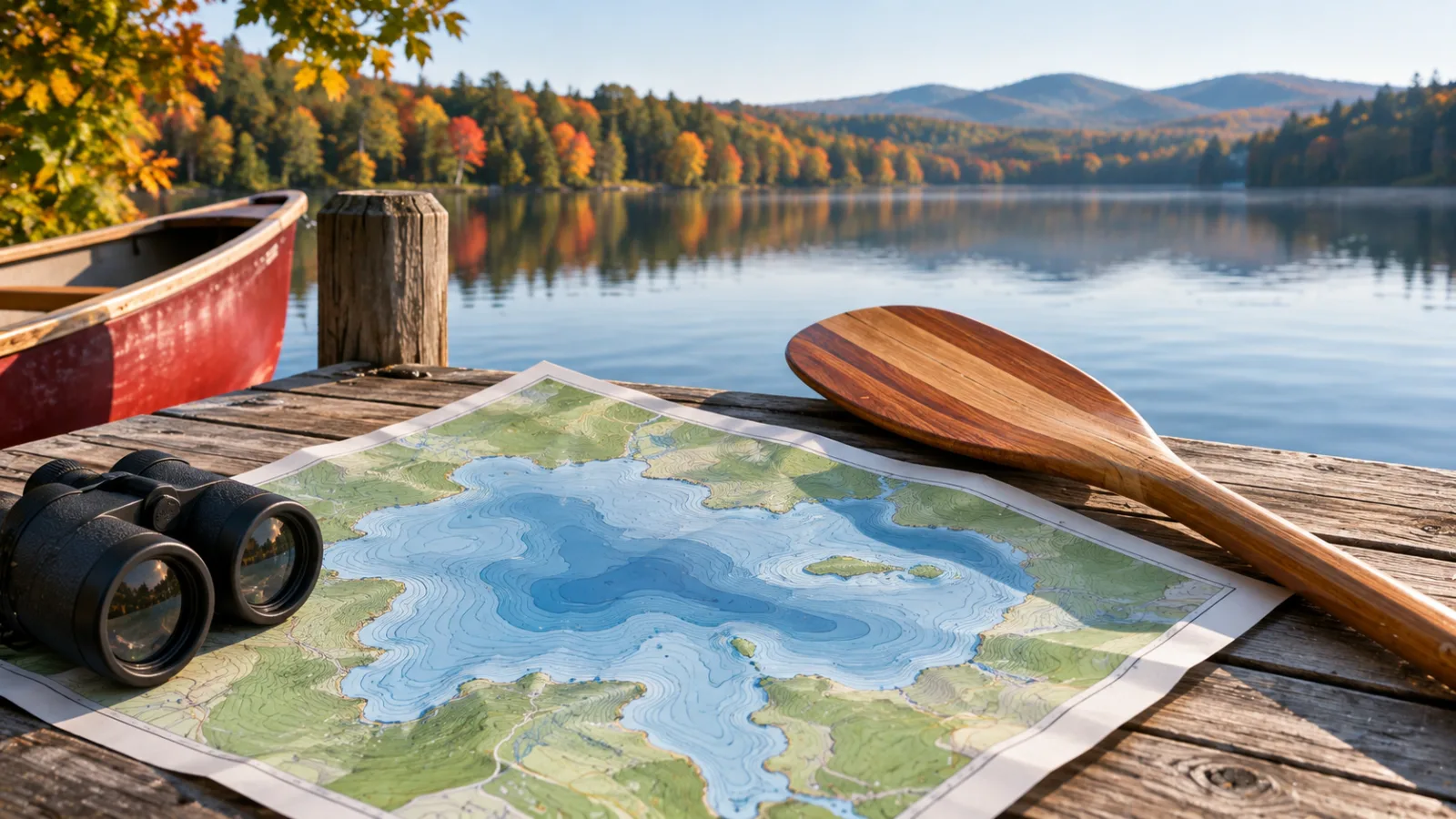

New Hampshire depth maps for lakes and ponds come from two state sources: NH Fish and Game's bathymetry maps, listed lake by lake, and the statewide depth-contour dataset on NH GRANIT, built by NHDES with NH Fish and Game data from surveys done between 2000 and 2019. Both give depths in feet, and both are rough guides, not navigation charts (NH GRANIT).
We sell New Hampshire lake homes in the Lakes Region and around Plymouth, so depth maps come up for two reasons: anglers want the drop-offs, and buyers want to know what's off the end of a dock. Both uses are covered below. For the lakes themselves, start with our best lakes in New Hampshire roundup and our Lakes Region waterfront guide.
On this page
- Where are NH Fish and Game's bathymetry maps?
- What is the NH GRANIT bathymetry dataset?
- Can a depth map tell you how deep the water is at a waterfront property?
- Frequently asked questions
Where are NH Fish and Game's bathymetry maps?
NH Fish and Game publishes its depth maps on the NH Bathymetry Maps page of its website, with the maps listed alphabetically by lake or pond name. This is the place most anglers start, because each map is a single lake drawn with depth contours, ready to print or save to a phone.
Smaller ponds may not have a map, so if yours isn't on the list, the GRANIT data below may still cover it. Fish and Game's maps were made for fishing: they show where the bottom drops off and where the deep holes are. That's how anglers find cold water for lake trout and salmon in summer, a pattern our New Hampshire fishing guide explains lake by lake. For buying on a pond, see our New Hampshire ponds guide.
What is the NH GRANIT bathymetry dataset?
The NH GRANIT bathymetry dataset is the statewide GIS layer of lake depth contours, in feet, produced by NHDES with NH Fish and Game survey data folded in, and hosted by UNH's GRANIT program. Its metadata lists surveys from January 2000 through October 2019 and a publication date of June 29, 2016. It was created so the state could calculate lake volumes for classifying lakes by their nutrient level (NH GRANIT metadata).
The GRANIT data is the better choice for anyone using mapping software, since it comes as line and polygon layers rather than printed maps. The same metadata is blunt about accuracy: the dataset "provides a rough estimate of a lake's depth contours and SHOULD NOT be used for navigational purposes." On a lake with rocks and shoals, that caveat matters. Marinas around the bigger lakes sell waterproof lake charts made for boaters, which mark hazards and channels.
Published depths also differ between sources. Lake Winnipesaukee is 180 feet at its deepest by the state survey cited in our Lake Winnipesaukee guide. Newfound Lake reaches 183 feet (see our Newfound Lake guide). Lake Winnisquam is 155 feet on Fish and Game's depth map but about 174 feet in its deepest monitored basin in the NHDES volunteer monitoring plan, as our Lake Winnisquam guide explains. A depth map shows the lake's shape well, but it isn't the last word on any single number.
Can a depth map tell you how deep the water is at a waterfront property?
A lake depth map can show whether a shoreline faces a shallow cove or a steep drop-off, but it can't tell you the water depth at a particular dock. The contours are too coarse for that, and water levels on dam-controlled lakes rise and fall through the year.
When looking at lakefront property, treat the depth map as a first look and then check at the shore. That means looking at the water late in the season rather than at spring high water, checking whether the dock's boat can actually float there, and asking the seller for the dock's permit. Docks and other structures in the water are permitted by NHDES's wetlands program under RSA 482-A, and work within 250 feet of the shoreline falls under the Shoreland Water Quality Protection Act, RSA 483-B. A deeper or longer dock isn't automatic, so a buyer planning on a bigger boat should know what's allowed before buying. Our boat launches guide covers public access, and our Lake Winnipesaukee home buying guide covers buying on the big lake.
Frequently asked questions
Are New Hampshire lake depth maps free?
Yes, NH depth maps from both state sources are free. NH Fish and Game posts its bathymetry maps on its website at no charge, and the GRANIT depth-contour data can be downloaded from UNH's GRANIT site for free. Printed waterproof lake charts sold by marinas and map makers are a separate, paid product.
Can I use an NH depth map for boating navigation?
No. The state's GRANIT metadata says the contours are a rough estimate and should not be used for navigation. Use a boating chart, the lake's navigation buoys and local knowledge, and go slowly in unfamiliar coves.
How deep is the deepest lake in the Lakes Region?
Newfound Lake, at 183 feet, and Lake Winnipesaukee, at 180 feet, are the deepest lakes near Plymouth by the figures in our lake guides. Lake Winnisquam's deepest basin is about 174 feet in state monitoring data. All three are deep enough to hold cold water through the summer.
Who surveyed New Hampshire's lake depths?
NHDES surveyed most lakes in the state's bathymetry dataset with a GPS depth sounder between 2000 and 2019, and added survey data from NH Fish and Game. UNH's GRANIT program hosts the combined data.